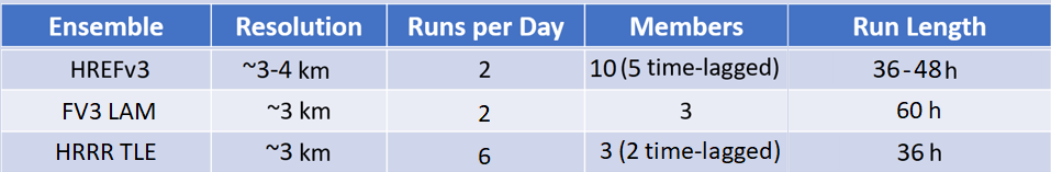
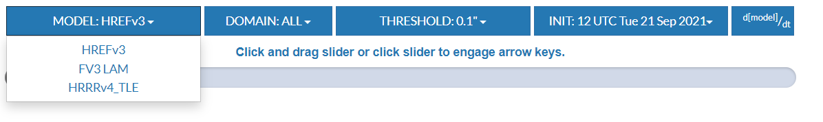
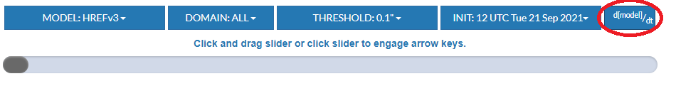
By default the displayed Tracking of Heavy Precipitation Objects (THePrO) product shown is from the most recent run of the HREF for the CONUS. Use the scrollbar to move through each forecast hour. Along the top of the webpage are toolbar options to change the ensemble type, domain, precipitation exceedance threshold, and model run. If a chosen configuration is not available, a notice will pop up. Please pick another configuration if this occurs. An example of the THePrO toolbar can be seen below.
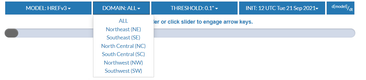
Domain:
There are seven domain choices; ALL (full CONUS) and 6 smaller domains consisting of the North East, South East, North Central, South Central, North West, and South West.
Threshold:
***currently there is only one threshold that is calculated***
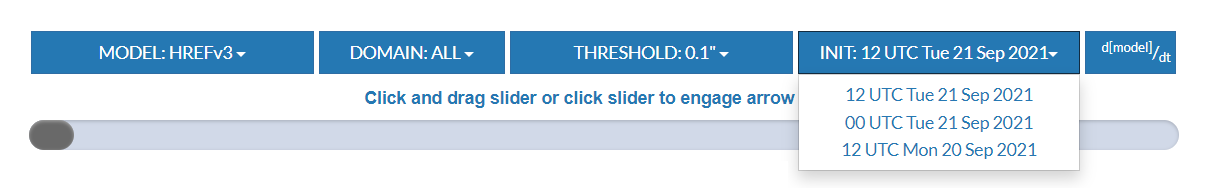
Initialization Model Time (Init):
A drop down menu exists with all potential model initialization times.
d[model]/dt:
This feature shows any model trends fixed on the valid time the user has selected from the scroll bar. Clicking on "d[model]/dt" will load a new page that displays these model trends. Simply click the back arrow to return to the previous page.
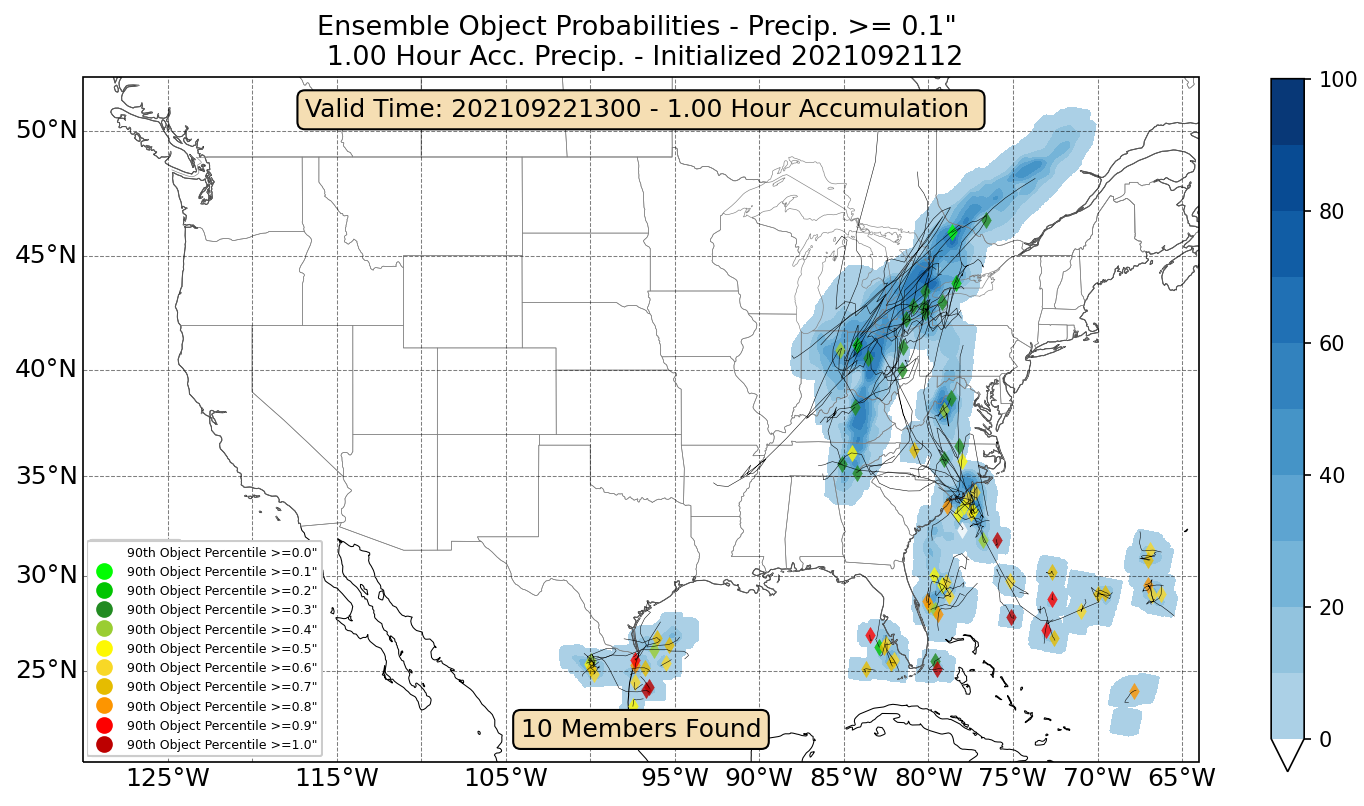
Description of Product Layout
This tracking image simultaneously conveys information about QPF track location, size, timing, and intensity.
Referring to the image shown below:
-- The QPF object centroid and the model are identified by a marker symbol for some ensembles (right legend).
-- The marker color indicates the 90th percentile of hourly accumulated precipitation (left legend).
-- The color scale on the right side of the product is the ensemble probability of being in a heavy precipitation object. When looking at the >= 0.1" per hour threshold, this blue shading represents the probability of >= 0.1" per hour for organized rainfall events.